

GIS platforms support color management. Most deployments don't use it.
ArcGIS Pro includes ICC color management support. It's off by default, and in most organizations it stays that way. QGIS, Google Earth Engine, and MapInfo deployments run on standard office monitors with no calibration workflow behind them.
For civilian mapping work, that's an acceptable risk until it isn't. Misrepresented spectral data, inconsistent orthophoto rendering, and color variation between analyst workstations all trace back to the same root cause: displays that have never been validated against a common standard.
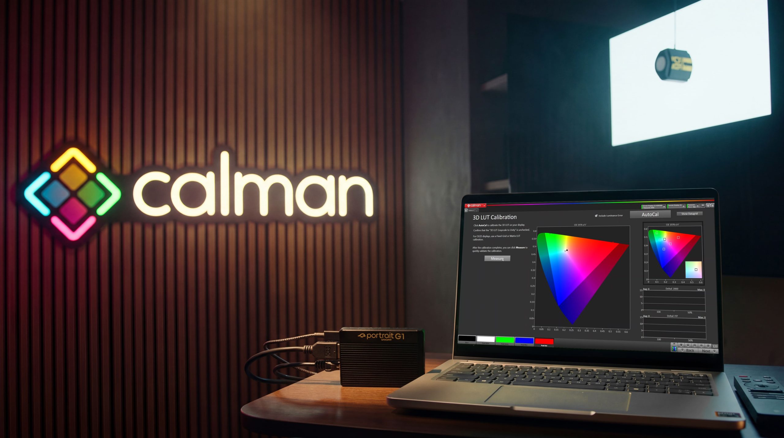
Calman gives your display environment the standard your data deserves.
Calman is professional display calibration software that validates and calibrates monitors against defined targets including sRGB and BT.1886, the de facto standards for civilian GIS environments. It integrates cleanly into existing workflows, generates documented calibration records, and gives organizations a repeatable process for keeping displays aligned over time.
The result is a display environment where what analysts see is what the data actually contains.
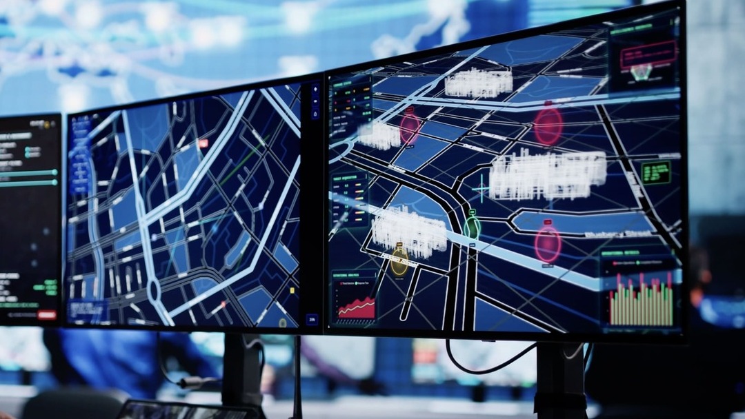
Built for the agencies and teams doing civilian geospatial work at scale.
Calman is a practical fit for:
- Federal civilian agencies including USGS and NOAA working with satellite and aerial imagery
- NASA Earth Science teams reviewing multispectral and remote sensing data
- City and county GIS departments managing orthophoto libraries and land-use mapping
- Utilities and transportation agencies relying on accurate spatial data for infrastructure decisions
- Esri partner organizations deploying ArcGIS Pro across analyst workstations
- Urban planners and research institutions working with GIS layers, DEMs, and vector overlays
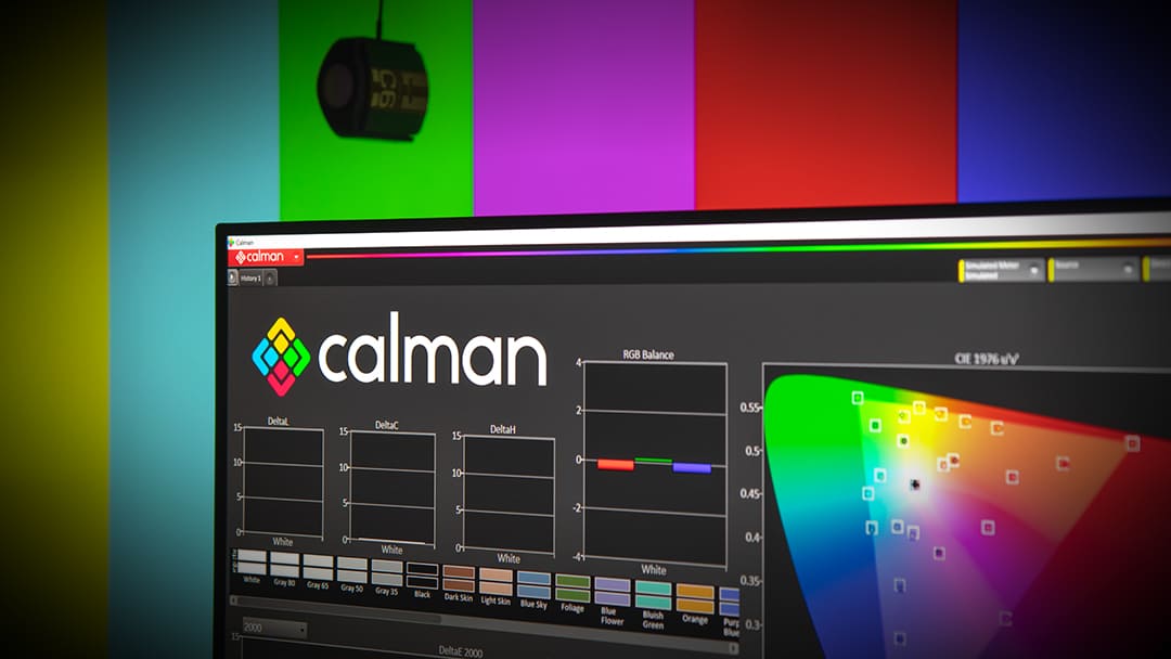
The calibration platform display manufacturers trust to validate their own products.
Portrait Displays has been the benchmark in professional display calibration for over two decades. Calman is used by display manufacturers, post-production studios, and imaging professionals worldwide to validate display performance against defined standards. Bringing that same platform into your GIS environment means calibrating to the same reference the industry measures against.