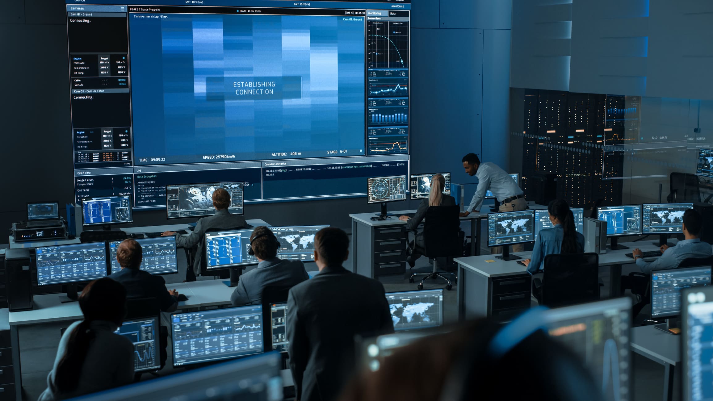
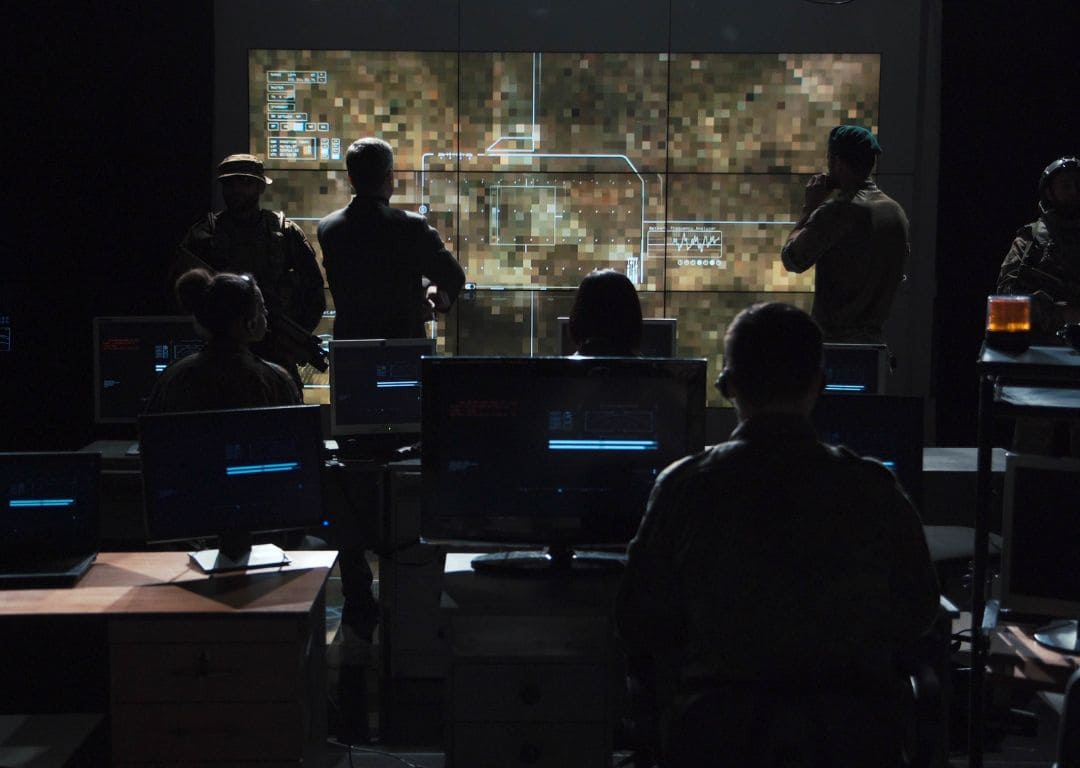
Government Applications
Calman color calibration software delivers exact color representation, crucial for government operations where accuracy is non-negotiable. Agencies depend on Calman for reliable visual data during critical operations:
- Defense
- Satellite imagery analysis
- Urban and regional planning
- Command and control centers
- Scientific and data visualization
- Training and educational programs
Proudly Serving


Who We Are
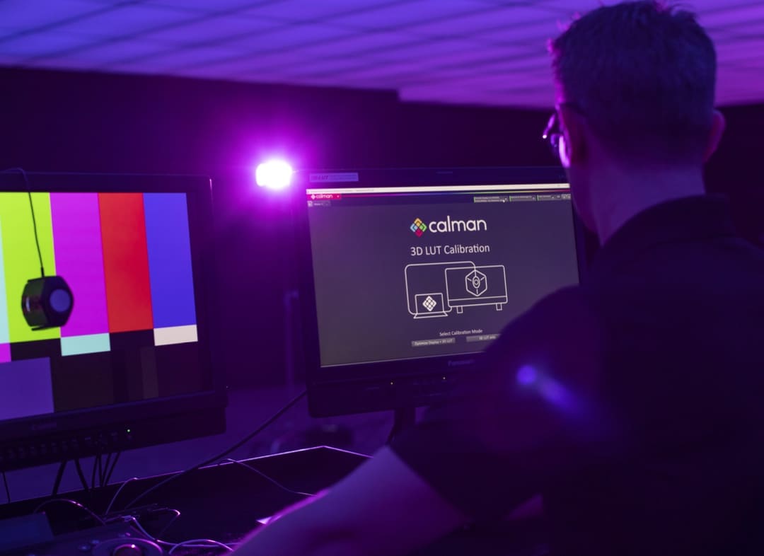
Portrait Displays is the leader in color display solutions, merging the latest in color science with advanced display control. Our Calman color calibration software is the preferred choice among industry leaders for its reliability in ensuring standard-conform image representation on all display types.

Why Calibrate
Calman stands as the premiere third-party calibration and validation tool, relied upon across various sectors. By employing Calman, gain assurance that your monitors adhere to stringent regulatory standards, mitigating legal risks and liabilities.
- Accurate Visual Analysis - For satellite imagery (NASA, NGA), forensic evidence (FBI), and mission-critical data, calibrated displays ensure precise, consistent visuals for informed decision-making.
- Standardization & Compliance -Calibration aligns all displays to industry standards (e.g., Rec. 709, DCI-P3), essential for inter-agency consistency and collaboration.
- Data Integrity- Ensures reproducibility and reliability of visual data in scientific research, court evidence, and intelligence analysis.
- Automation & Hardware Support- Calman supports pro-grade meters, pattern generators, and automated workflows—ideal for secure, large-scale deployments.
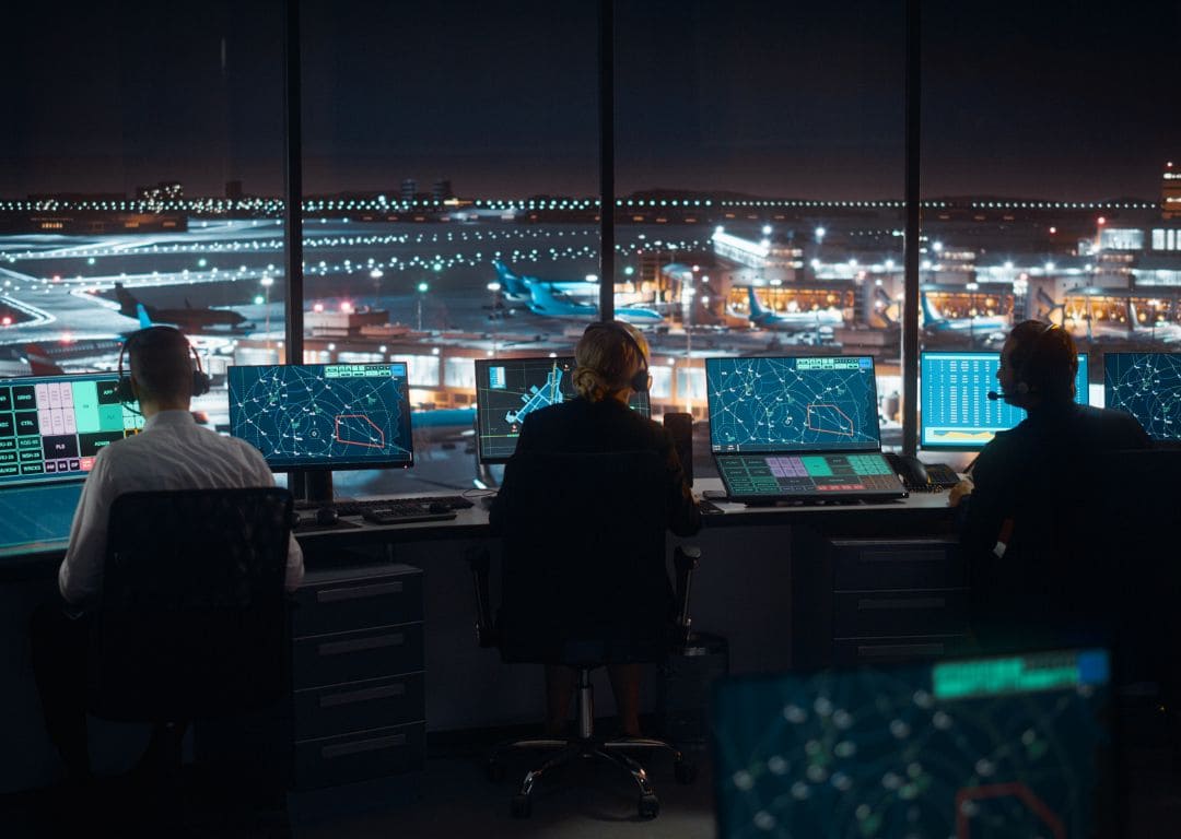
Color Calibration
Color sRGB calibration is necessary for applications like:
- Cartography
- Remote sensing
- Geographical Information Systems (GIS)
- Satellite imagery
- Intelligence visualization
- Mission planning
- Surveillance
- Threat analysis
- Air traffic control